
CYCLING · GRAVEL · RIVA DEL GARDA
Riva del Garda → Pregasina → Riva del Garda
The old road above Lake Garda, ridden out to Pregasina and back.
DISTANCE
14.4 km
DURATION
2 h 45 min
ASCENT
858 m
DIFFICULTY
Intermediate
START
Riva del Garda
FINISH
Riva del Garda
ROUTE TYPE
Out and Back
ROUTE LINE
Riva del Garda → Pregasina → Riva del Garda
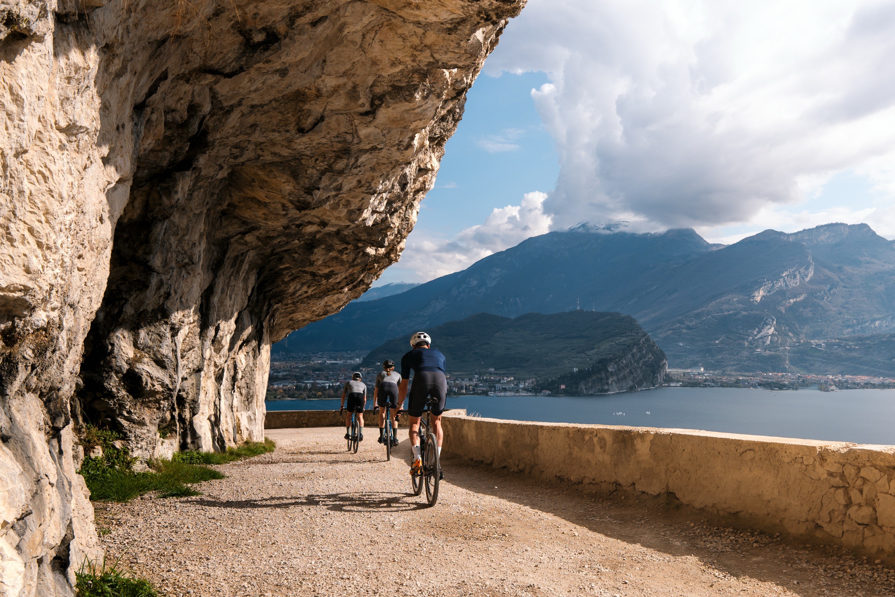
A compact gravel ride with an outsized sense of place: rock-cut tunnels, exposed lake views and a sustained climb from Riva del Garda to Pregasina. The route follows the historic Ponale line before continuing on paved road to the village church, then returns largely by the same way.
Leave Piazza III Novembre and follow the lakeshore south to the Ponale entrance near the first tunnel on the Gardesana road toward Limone. Stay on the historic trail. After the dirt section and the refreshment point, keep left and continue climbing toward Pregasina. At the road beside the tunnel entrance, keep left and climb to the church overlooking the village.
Return largely by the same route. The official source describes a short alternative descent after leaving Pregasina, but this includes steep cemented slopes. Riders who want to avoid that section should return by the ascent route.
Rock-cut tunnels above Lake Garda
Views across the northern lake, Monte Brione and Monte Baldo
The bridge over the Ponale Torrent gorge
The climb toward Pregasina
The historic Austro-Hungarian Tagliata fortification, visible through gates in the third tunnel
The route is shared with walkers; cyclists must yield to pedestrians.
Wear a helmet and use working bicycle lights.
The official source recommends following the supplied GPX because the suggested line can be difficult to identify.
The optional alternative descent includes steep cemented slopes.
Check the official route status, weather and trail conditions again immediately before riding.
Always check the latest official route status, local conditions and weather before departure.
Get the Route
GPX download will be available here.
DOWNLOAD GPX
Around This Route
Places along this route will appear here.
Photo: AktivHotel SantaLucia / supplied to ALTITUDINE
CONNECT
© 2026 ALTITUDINE · Privacy Policy
NORTHERN ITALY / FIELD JOURNAL